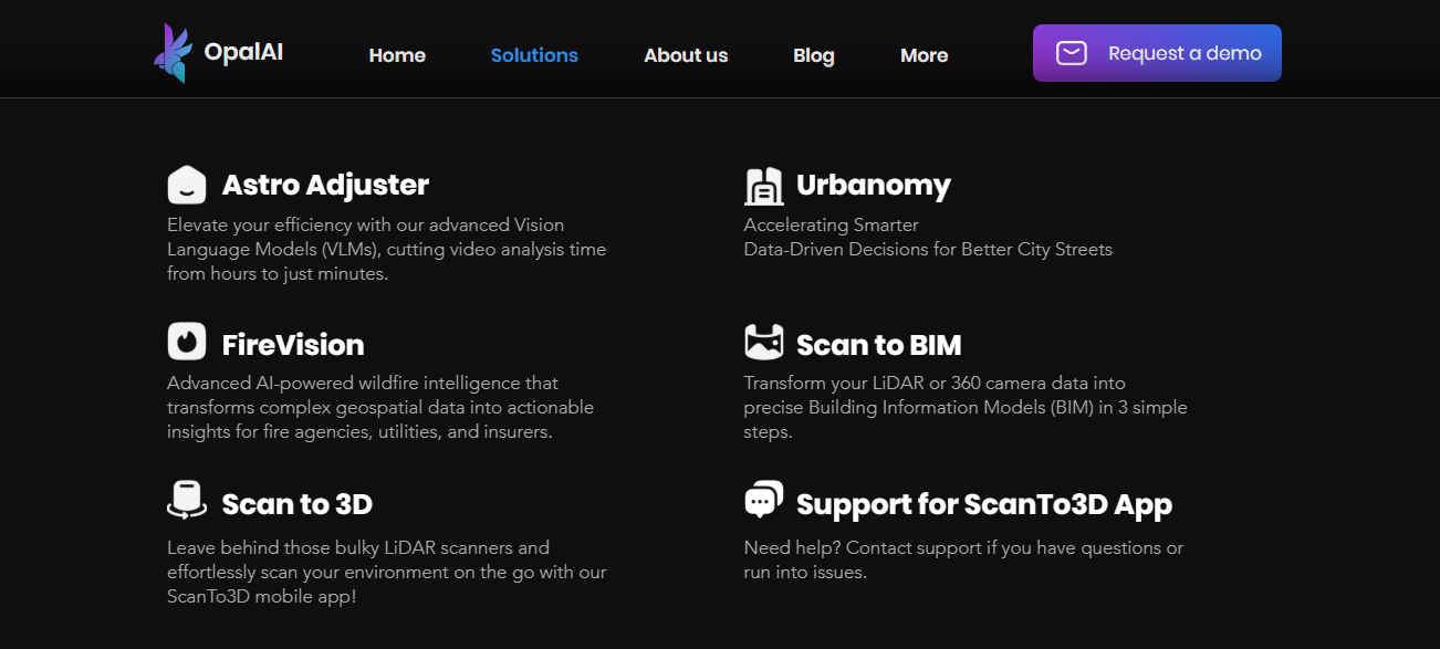
OpalAi is a spatial intelligence and AI platform that uses machine learning and vision language models to convert real-world environments into digital data. Its suite includes mobile scanning tools, geospatial analytics, and enterprise solutions for industries like real estate, insurance, urban planning, and disaster response.
Traditional methods for capturing floor plans, building models, or analyzing spatial and visual data are slow and require specialized hardware/skills. OpalAi automates key parts of these workflows with AI — reducing hours or days of work to minutes, enabling faster decisions and lowering operational costs.
Users can scan spaces with a smartphone or LiDAR-capable device. The OpalAi platform processes the data in the cloud using vision-language models and 3D reconstruction algorithms, producing accurate 2D floor plans, 3D CAD models, or strategic insights depending on the service. Other enterprise tools analyze video and imagery for wildfire risk or urban planning insights.